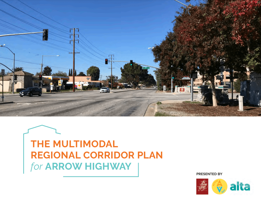
The plan was developed with the participation of Glendora, San Dimas, La Verne, Pomona and Claremont. It outlines 3 primary options to develop comfortable / low stress routes for East / West travel across the region.
While one of the options is to create significant improvements on Arrow Highway itself, it also focuses on using Bonita as a “main street” route, and provides some additional complimentary neighborhood routes. The plan roughly parallels the extension of the Gold Line, and as a result, supports connectivity to the stations. It also builds incorporates and builds upon the First Mile / Last Mile plan approved by Metro in 2020 for improving pedestrian and bicycle access to the stations.
It now falls on each of the cities to implement these changes where possible. La Verne is in the process of approving its own Active Transportation Plan, which also incorporated all the components of the First Mile / Last Mile Plan, and will soon be developing strategies for adoption. Additionally, it is hoped the cities will continue to work together to see grants where available to create the corridor.
https://eastsgvconnect.com/#documents-section
